|
ShenZhen International Navigation Electronic Co., Ltd.
|
Brand New Gar min GPSMAP 722
| Payment Terms: | T/T,WU |
| Place of Origin: | , China (Mainland) |
|
|
|
| Add to My Favorites | |
| HiSupplier Escrow |
Product Detail
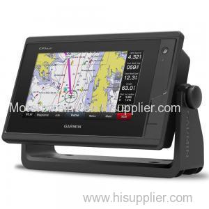
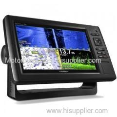
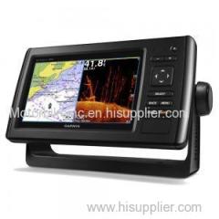
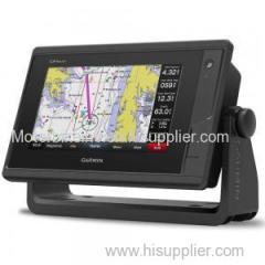
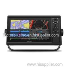
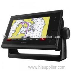
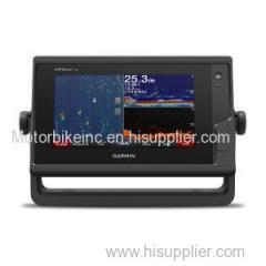
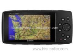
Experience an advanced navigation solution with this compact 7-inch Garmin GPSMAP 722 touchscreen chartplotter. Includes wireless connectivity feature
Experience an advanced navigation solution with this compact 7-inch Garmin GPSMAP 722 touchscreen chartplotter. Includes wireless connectivity features for Garmin mobile apps, NMEA 2000 support and Garmin Marine Network support
7-inch high-resolution intuitive touchscreen controls
NMEA 2000® and NMEA 0183 support for network connectivity
Garmin Marine Network support for sharing sonar, including Panoptix™ sonar, maps, user data, radar and IP cameras among multiple units
Supports optional BlueChart® g2 Vision® HD charts for Auto Guidance and other premium navigation features¹
Garmin Marine Network and NMEA2000 Support
Full-network compatibility allows you to add more capabilities to your boat. Garmin Marine Network support allows sharing of sonar, including Panoptix FrontVü collision avoidance sonar, maps, user data, dome or open-array radar and IP cameras among multiple units. Plus, there's NMEA 2000 network connectivity and NMEA 0183 support for autopilots, digital switching, weather, FUSION-Link, VHF, AIS and other sensors
Built-in Wi-Fi® Connectivity
Enjoy built-in Wi-Fi connectivity for BlueChart Mobile 2.0 and Garmin Helm apps. Garmin Helm allows you to view and control your compatible chartplotter from a compatible smartphone or tablet while providing enhanced situational awareness for the mariner. With BlueChart Mobile, a free app downloaded from the App Store™, you can get reliable weather information while you plan marine routes on your iPad® or iPhone® then wirelessly transfer them to your boat's compatible networked Garmin chartplotter. You can even stream and control a VIRB action camera from the chartplotter.
Built-in ANT® Connectivity
Enjoy built-in ANT wireless connectivity directly to quatix® marine watch, Garmin Nautix™ in-view display, gWind™ Wireless 2 transducer, GNX™ Wind marine instrument and wireless remote controls.
Heading and Position Refreshed 10 Times per Second
Fast, responsive built-in 10 Hz GPS and GLONASS receiver refreshes your position and heading 10 times each second to make your movement on the screen more fluid. It makes dropping up to 5,000 accurate waypoints — and finding your way back to them — quick and easy.
Built-in SailAssist Features
To help you gain a wind-maximising competitive edge, your chartplotter features a pre-race guidance page that shows your virtual starting line along with data fields showing laylines, time to burn before the start and a race timer that can be synchronised across all your networked Garmin GPS products. In addition, other supported sailing features include an enhanced wind rose, heading and course-over-ground lines, set and drift, true and apparent wind data and more.
In the box
GPSMAP 722 chartplotter
Power cable
Bail mount kit with knobs
Flush mount kit with gasket
Protective cover
Trim piece snap covers
Documentation
Specifications
Physical dimensionsDisplay size, WxHDisplay resolution, WxHDisplay typeWeightWater ratingAntennaMounting optionsGarmin Marine Network™ ports
| 224.0mm x 142.5mm x 53.9mm |
| 154.08mm x 85.92mm |
| 800 x 480 pixels |
| Multi-touch touchscreen WVGA display |
0.86 Kg |
| IPX7 |
| Internal or external over NMEA 2000 |
| Bail or flush |
1 |

